A 290-mile network of bike lanes, off-road trails and bicycle boulevards planned for Corpus Christi may soon become reality. Designed for the casual cyclist, commuters and students, the network is meant to attract young adults and environmentally-conscious professionals throughout the city.
The Bicycle Mobility Plan has been in the works since 2005. The masterplan states that “the way in which we move around our community is the single biggest determinant of our quality of life.” Also, states the plan, when a city’s transportation system is very car-centric, active mobility options such as walking and biking are difficult — in fact, over 70 percent of cyclists stated in a survey that they don’t feel safe in the city’s existing bike lanes.
Corpus Christi plans to increase the number of bike lanes throughout the city, but will also be widening sidewalks and dividing them in half. A painted half of the sidewalk will denote which side bikes can ride. The other half will indicate where pedestrians should walk.
The city will also be turning many less busy neighborhood streets into “bicycle boulevards,” which grants the right-of-way to cyclists. Cars are allowed on the boulevards, but must yield to bikes. As the number of cyclists in the city grows, the plan is designed to help motorists and cyclists learn to coexist more peacefully and safely.
The city kept several key destinations in mind when drafting the bike network. At the top of the list are academic destinations, such as grade schools and higher education campuses. Eighty-nine percent of these academic destinations will be within a quarter mile of the bike network. The city also considered the location of parks, grocery stores, public transit stations and recreation centers when planning routes.
The Metropolitan Planning Organizations website, coastalbendinmotion.org, has an interactive mapping tool for locals to provide input on planning the bike network. Riders can comment on what routes they ride and which routes they would like to see improved. City planners also monitor Strava, a handy smartphone app for logging rides, to help identify priority routes.
The Bicycle Mobility Plan will be in the works throughout 2016.
More bike lanes planned for Corpus Christi

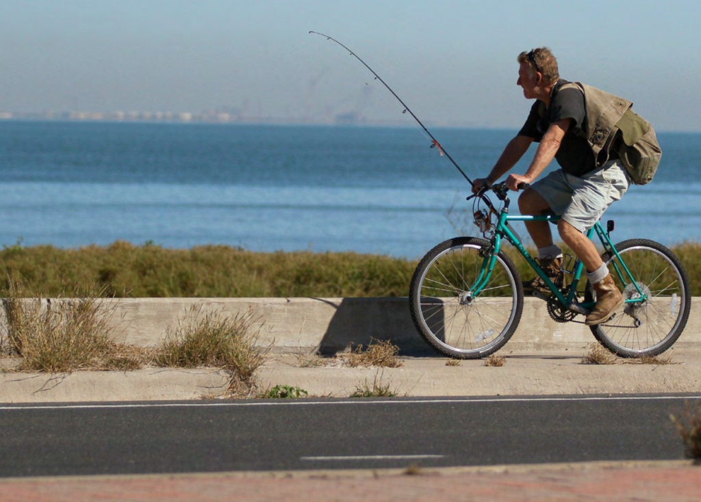
The Bicycle Mobility Plan will create a 290-mile bike network throughout Corpus Christi. Photo from Coastal Bend in Motion